This is when thunderstorms will start in Chesterfield tonight and how long they'll last
and live on Freeview channel 276
A yellow weather warning for thunderstorms has been issued by the Met Office from today (Wednesday, June 16) until Saturday, June 19.
Today is predicted to be the hottest day of the year so far, with highs of 26°C in Chesterfield and sunshine throughout the day but the arrival of the stormy weather later on will see temperatures drastically drop back down again.
Advertisement
Hide AdAdvertisement
Hide AdAccording to the most recent forecast, the heavy downpour will start at midnight tonight and continue into the early hours of Thursday and throughout the morning.
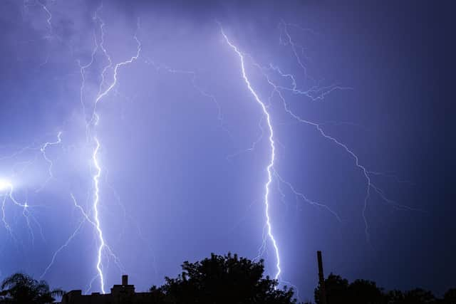

While rainfalls is forecast until around 11am on Thursday, it will be markedly colder with highs of 19°C – around 7°C less warm then it feels today.
The weather warning for thunderstorms and flash flooding is in place on Friday and Saturday as well, with heavy showers expected to resume again in Chesterfield at 10pm on June 18 and continuing until around 4am on June 19.
Friday is expected to be largely cloudy with temperatures remaining significantly lower at 17°C and rising to 18°C on Saturday.
Advertisement
Hide AdAdvertisement
Hide AdThe yellow notice covers most of England, from the south coast to Middlesbrough – all of which could be hit by thunderstorms and bursts of flash flooding.
Residents are urged to prepare for travel disruptions in anticipation of the wet weather.
"There is a small chance that homes and businesses could be flooded quickly, with damage to some buildings from floodwater, lightning strikes, hail or strong winds”, the Met Office said.
“There is a small chance of fast flowing or deep floodwater causing danger to life.
Advertisement
Hide AdAdvertisement
Hide Ad“Where flooding or lightning strikes occur, there is a chance of delays and some cancellations to train and bus services.
“Spray and sudden flooding could lead to difficult driving conditions and some road closures.
“There is a small chance that some communities become cut off by flooded roads.
“There is a slight chance that power cuts could occur and other services to some homes and businesses could be lost.”