
Parts of Chesterfield and Derbyshire have faced flooding after heavy rain began on Monday, September 30.
The photos below show river levels across Chesterfield – along with the details of current flood warnings and alerts that are still in place, and those that have now ended.
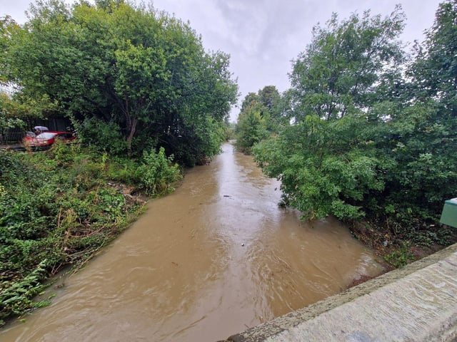
1. Flood warnings still in place
Environment Agency flood warnings are still active for the River Rother and Smithy Brook at Renishaw, and the River Rother at Tapton. Photo: Brian Eyre
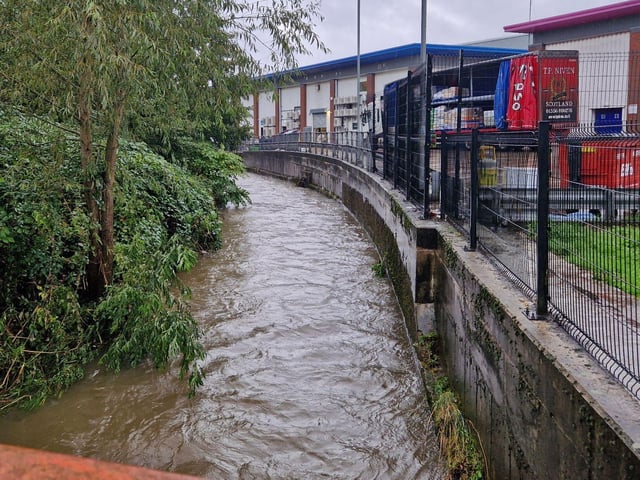
2. Flood alerts continue across Derbyshire
Flood alerts remain in place in the following areas: Lower Derwent at Draycott, Lower Dove Brooks and Egginton Brook, Lower River Rother between Renishaw and Rotherham, River Amber at Ambergate, River Erewash near Ilkeston, Langley Mill and Pinxton, River Trent at Willington, Upper Dove at Carsington Dam, Upper River Rother between Chesterfield and Staveley. Photo: Brian Eyre
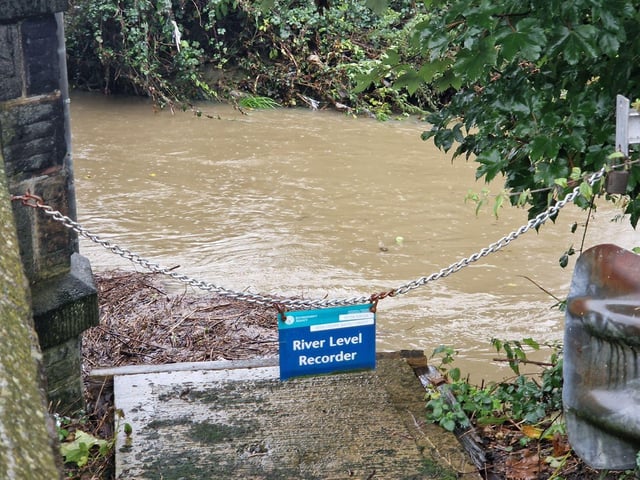
3. Some flood alerts removed
A number of flood alerts have been removed by the Environment Agency today - including Bottle Brook, River Ecclesbourne, River Whitting at Old Whittington and Sheepbridge, River Wye at Bakewell and Ashford. Flood alerts have also been removed for a number of tributaries to the Rivers Noe, Derwent and Wye in North Derbyshire including Grinds Brook, Peakshole Water, Bradwell Brook, Stoke Brook, Bar Brook, Tideswell Brook, Warney Brook, Bentley Brook, Via Gellia and Lea Brook, Press Brook and Smithy Brook. Photo: Brian Eyre
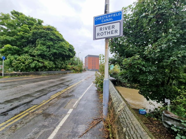
4. Weather forecast
Rain is set to continue throughout today across much of Derbyshire. Photo: Brian Eyre