
Flood alerts issued in Derbyshire as yet more rain forecast across the county

Flood alerts issued have been issued for a number of rivers in Derbyshire, with yet more rain forecast across the county.
The Environment Agency has issued a number of flood alerts – meaning that flooding is possible – on rivers across Derbyshire, including:
The Lower Derwent in Derbyshire – Areas most at risk are low-lying agricultural land and roads including Church Wilne, Draycott, and Wilne Lane between Draycott and Sawley. Rainfall is forecast over the next 48 hours. River levels at Church Wilne Gauge will rise until late Friday evening, 06/02/2026. Levels will remain high until Saturday evening,
Forecast high river levels may lead to flooding.
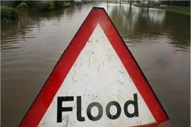

Another flood alert is in place on the Lower Dove. Flooding may affect low-lying land and roads adjacent to the River Dove between Izaak Walton and Rocester and the Henmore Brook between Carsington Dam and Mayfield.
Another alert is in place for a number of tributaries in North Derbyshire around Stoney Middleton, Castleton and Baslow
Areas most at risk are low-lying agricultural land and roads around the tributaries of the Rivers Derwent, Wye and Noe in North Derbyshire including Grinds Brook, Peakshole Water, Bradwell Brook, Stoke Brook, Bar Brook, Tideswell Brook, Warney Brook, Bentley Brook, Via Gellia and Lea Brook. Rainfall is forecast over the next 48 hours. River levels at Perryfoot Farm, Castleton Gauge are forecast to rise today, with levels are likely to remain high until Saturday.
Lower Dove Brooks and Egginton Brook are also under flood alert. The EA says flooding may affect low-lying land and roads adjacent to the Foston Brook, Hilton Brook and Egginton Brook.
Another alert is in place for the River Erewash in Derbyshire and Nottinghamshire. Areas most at risk are low-lying agricultural land and roads around Pinxton, including the Pinxton Wharf access road, Langley Mill, Ilkeston, Stapleford, and the recreation area at Sandiacre.
A spokesperson for the Environment Agency said: “We are closely monitoring the situation. Take care and avoid walking, cycling or driving through flood water.”
Heavy rain is forecast today, with more rain, drizzle and sleet forecast every day for at least the next two weeks.