Exact time thunderstorms could hit Chesterfield and Derbyshire – as Met Office extends yellow warning after heatwave
and live on Freeview channel 276
A yellow weather warning for thunderstorms in Derbyshire is active for 24 hours on Wednesday, August 17. A warning was already issued by the Met Office for today (Tuesday, August 16) but this has since been extended.
Thunderstorms and areas of heavy rain will develop widely on Wednesday, and 20-30mm of rain is possible within an hour. Where areas of thundery rain become slow-moving, there could be 60mm of rain in less than three hours – with the possibility of hail and lightning as well.
Advertisement
Hide AdAdvertisement
Hide AdThe Met Office said that flooding of homes and businesses could happen quickly, with damage to some buildings from floodwater, lightning strikes, hail or strong winds. Fast flowing or deep floodwater is also possible, posing a danger to life.
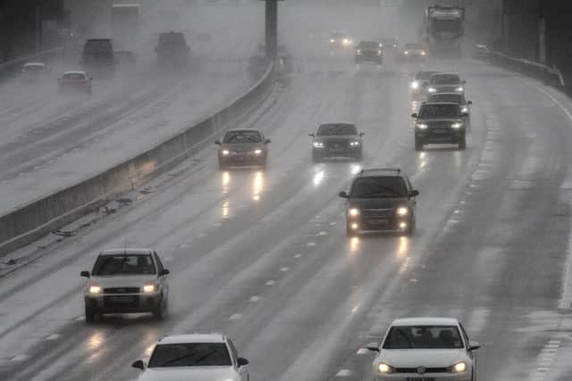

Where flooding or lightning strikes occur, there is a chance of delays and some cancellations to train and bus services. Spray and sudden flooding could lead to difficult driving conditions and some road closures.
Power cuts might also occur and other services to some homes and businesses could be lost.