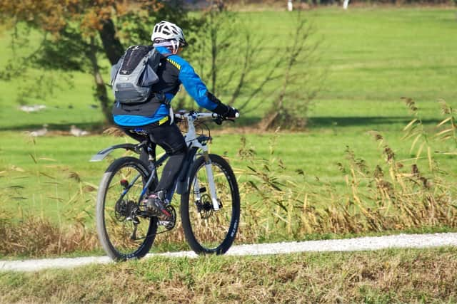
Plans for new north Derbyshire cycle path unveiled

and live on Freeview channel 276
Plans have been submitted to create a 1km link between Mansfield Road, Doe Lea, and Mill Lane, Stainsby, to help connect a cycle network being created across the county.
The proposed 3m wide path across farmland and public open space is being developed by a partnership between Bolsover District Council and Sustrans, a charity designed to make it easier for people to walk and cycle.
Advertisement
Hide AdAdvertisement
Hide AdIt will need planning approval from both Bolsover and North East Derbyshire district councils.

Anna Chapman, from Derbyshire County Council’s Sustainable Travel Team, has welcomed the proposal.
"The intended route will provide a valuable section of the Derbyshire Cycle Network being developed across the county,” she said.
"The route should also allow for the provision of horse riders as the route forms part of a wider vision to provide a multi-user shared off-road route between Glapwell Country Park and Hardwick Hall estate.”
Advertisement
Hide AdAdvertisement
Hide AdThe proposals include a new 650m stretch of path and the widening and resurfacing of existing rights of way.
Groundworks will also be necessary in some places to ensure the gradient is kept as level as possible for cyclists and other users.
A new bridge over the River Doe Lea will also be required.
Planning documents say the bridge will be about 3m wide and will replace an existing stone bridge.
“The new bridge will make use of the existing bridge abutments and, as such, will have no impact on the existing watercourse,” the statement adds.
Advertisement
Hide AdAdvertisement
Hide AdA series of ecological surveys have already been carried out to assess the potential impact on species such as water voles, otters and great crested newts if found to be present.
The Coal Authority says a Coal Mining Risk Assessment is required because of the ‘high risk’ area the route will pass through.
“Our records also show that the application area lies within the boundary of a site from which coal has been removed by surface mining methods,” their report says.
"These features may pose a potential risk to surface stability and public safety.”