


The figures were taken from Derbyshire Police’s most up-to-date records in its crime map for Chesterfield and locations are given by policing area and the neighbourhoods within them.
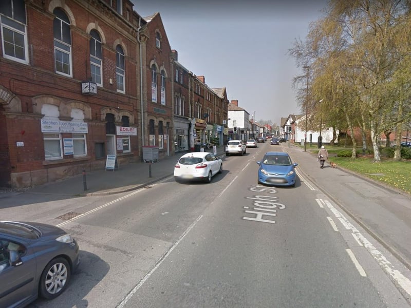
9. Clay Cross
Three reports Policing area also covers Holmgate and Old Tupton Photo: Google
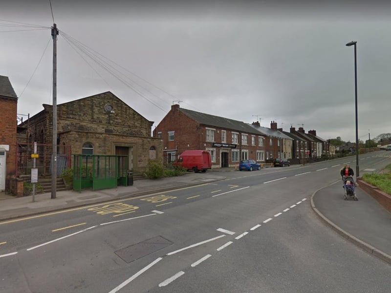
10. Staveley
One report Policing area covers Netherthorpe, Woodthorpe, Mastin Moor and part of Staveley Photo: Google
3 / 3