


The figures were taken from Derbyshire Police’s most up-to-date records in its crime map for Chesterfield and locations are given by policing area and the neighbourhoods within them.
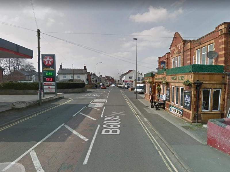
5. Hasland and St Leonard's
Eleven reports Policing area also covers Spital and parts of Calow, Birdholme and Boythorpe Photo: Google
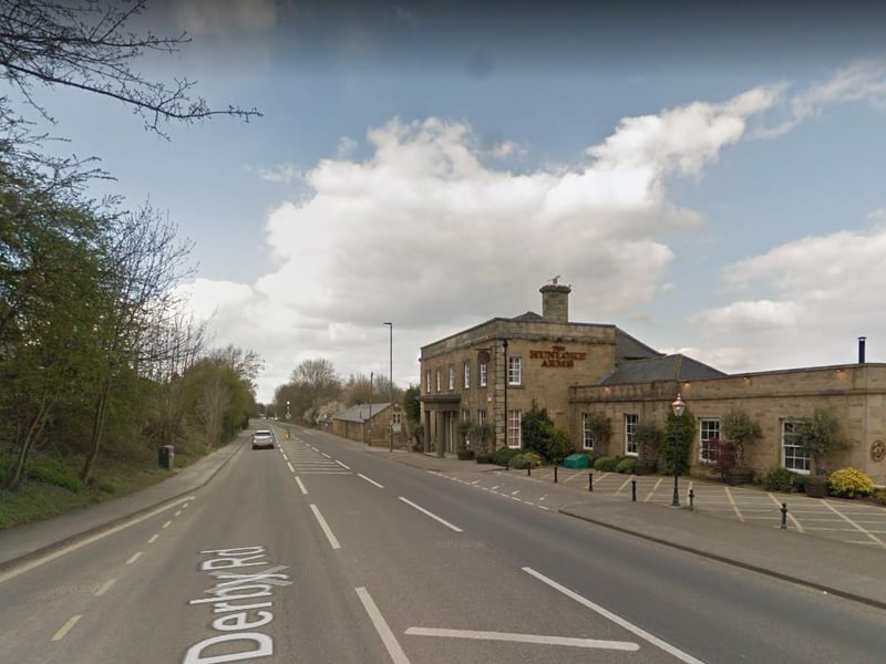
6. Wingerworth and Rural
Ten reports Policing area also covers Walton, Old Brampton, Ashover, Wadshelf and Holymoorside Photo: Google
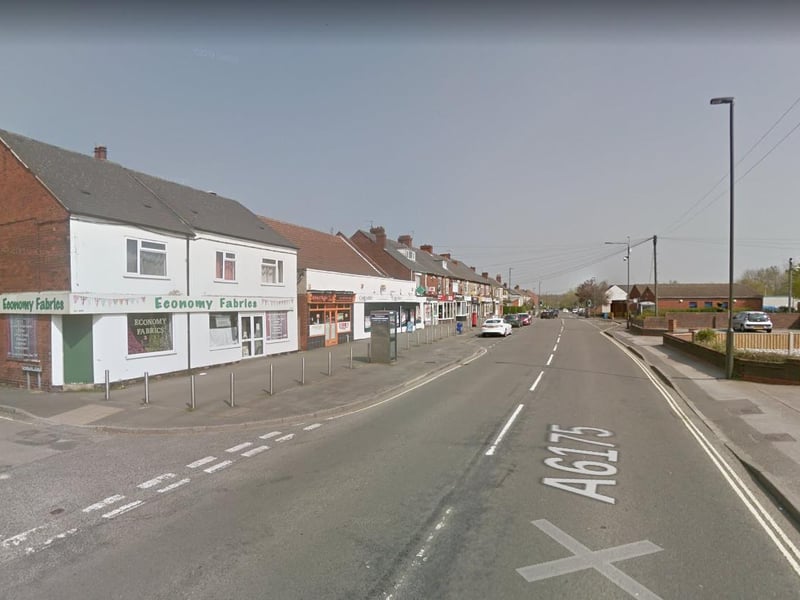
7. Holmewood, Grassmoor, Calow and Arkwright
Seven reports Policing area also covers Calow Photo: Google
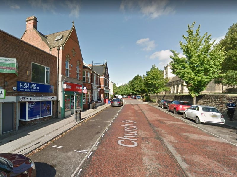
8. Middlecroft and Poolsbrook
Six reports Policing area covers Middlecroft, Poolsbrook and part of Staveley Photo: Google
2 / 3