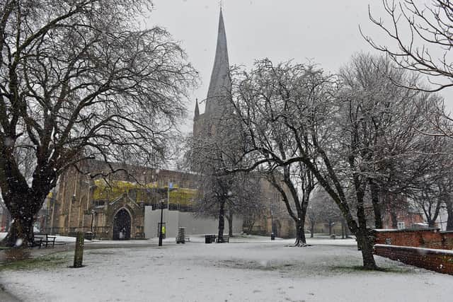
Snow and ice warning for Chesterfield on Saturday - here's the latest hour-by-hour forecast
and live on Freeview channel 276
The Met Office has issued a yellow warning for snow and ice running from 12am until 6pm on Saturday.
It says a band of heavy snow may lead to travel disruption, with a small chance of traffic disruption, power cuts and slips and falls on icy pavements.

Advertisement
Hide AdAdvertisement
Hide AdThe latest forecast suggests Chesterfield should avoid the worst of the snow but can expect a considerable amount of sleet early on, followed by rain.
A low of 1C is expected, though it will feel as cold as -4C during the early hours, with a high of 6C in the afternoon.
Sunday is expected to be brighter, with sunshine forecast for much of the day. The temperature is expected to reach 6C, with a low of 4C, though it will feel as cold as 0C.
It should get a bit warmer early next week, with a high of 9C forecast on Tuesday but temperatures back down to 5C on Thursday.
Here’s the hour-by-hour breakdown for Saturday:
12AM – Cloudy
1AM – Cloudy
2AM – Light snow
3AM – Sleet
4AM – Sleet
5AM – Sleet
6AM – Sleet
7AM – Sleet
8AM – Heavy rain
9AM – Heavy rain
10AM – Heavy rain
11AM – Light rain
12PM – Cloudy
1PM – Cloudy
2PM – Light rain
3PM – Cloudy
4PM – Cloudy
5PM – Partly cloudy
6PM – Cloudy
7PM – Partly cloudy
8PM – Partly cloudy
9PM – Partly cloudy
10PM – Partly cloudy
11PM – Cloudy