
Met Office issues third thunderstorm warning for Derbyshire – with travel disruption and hail possible
The Met Office has issued a third thunderstorm weather warning for Derbyshire.
A yellow weather warning for thunderstorms will be in place across Derbyshire from 12 noon until 9pm today (Friday, August 28).
This is the third thunderstorm warning issued for the county in just three days - with previous warnings active between 3am and 10pm on Wednesday, August 26 and another one running from 6 am until 10 pm yesterday (Thursday, August 27).
While many areas are set to miss the heaviest downpours, heavy showers and thunderstorms are expected to develop during Friday afternoon and evening, the Met Office has warned.
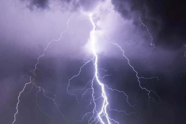

The focus of showers and thunderstorms over will be northern England during the early afternoon before extending over central and eastern England through the afternoon.
Thunderstorms are expected to bring 10-20 mm of rain in a short period in a few places with 30-40 mm possible should anywhere see repeated downpours.
Lightning and hail will be additional hazards in a few locations.
Heavy showers and thunderstorms will gradually ease in the evening.
The Met Office has issued the following warning: “There is a good chance driving conditions will be affected by spray, standing water and/or hail, leading to longer journey times by car and bus.
"Delays to train services are possible
"Flooding of a few homes and businesses is likely, leading to some damage to buildings or structures
"Possibly some damage to a few buildings and structures from lightning strikes
"Some short-term loss of power and other services is possible.”
This comes after heavy rain and thunderstorms caused disruption across Derbyshire yesterday (Thursday, August 27).
Several roads were flooded by standing rainwater, making driving conditions very difficult.
A number of short-term power cuts were reported late last night, but the issues have been since resolved.