Hour-by-hour forecast as heavy rain and thunder head for Chesterfield
and live on Freeview channel 276
The Met Office has already issued a yellow ‘be aware’ alert which is valid between 6am today (Saturday, July 3) and Sunday at 11.59pm.
A Met Office spokesperson said: “An area of heavy rain and some thunderstorms is expected to develop on Saturday morning over southern England and then move northeastwards before clearing into the North Sea Saturday afternoon.
Advertisement
Hide AdAdvertisement
Hide Ad"Many places will see a short period of heavy rain while some may see a more prolonged period of rain along with some intense bursts, with lightning and hail.
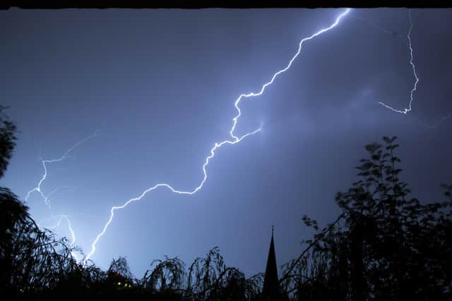

“Under the heavier rain some sites could see 30 to 40mm of rain falling in a few hours.
“Once this clears, further heavy showers are expected to break out.
“These will be more hit-and-miss with many sites staying dry following early rain, but where they do occur, there is a chance of 30 to 35mm rain falling in an hour, again accompanied by lightning and hail.”
SATURDAY
12pm: Light rain
1pm: Heavy rain
2pm: Thunder shower
3pm: Overcast
4pm: Light rain shower
5pm: Light rain shower
6pm: Light rain shower
7pm: Sunny intervals
8pm: Cloudy
9pm: Light rain shower
10pm: Partly cloudy
11pm: Partly cloudly
12am: Partly cloudy
SUNDAY
1am: Partly cloudy
2am: Partly cloudy
3am: Partly cloudy
4am: Partly cloudy
5am: Cloudy
6am: Cloudy
7am: Cloudy
8am: Cloudy
9am: Cloudy
10am: Cloudy
11am: Light rain shower
12pm: Light rain
1pm: Thunder
2pm: Cloudy
3pm: Light rain shower
4pm: Light rain shower
5pm: Light rain shower
6pm: Cloudy