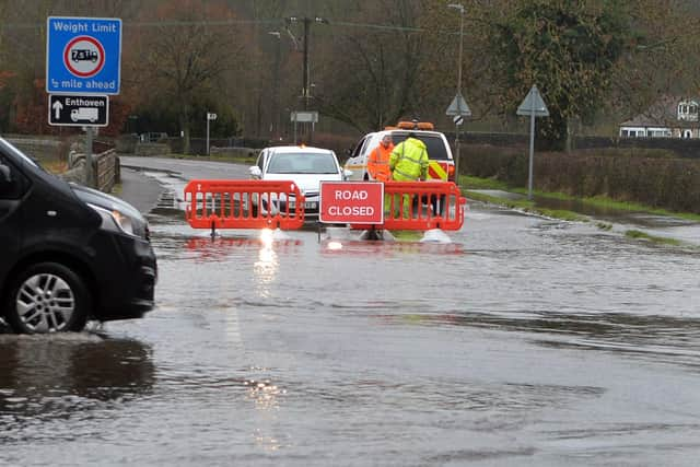
Full list of roads closed in Derbyshire because of flooding
and live on Freeview channel 276
Motorists are urged to only travel if their journey is essential, with Derbyshire County Council warning just 30 centimeters of snow is enough to ‘float’ a vehicle.
Heavy snow has also forced the closure of the A57 Snake Pass and a yellow weather warning for ice is in place for parts of the county this morning.
Advertisement
Hide AdAdvertisement
Hide AdA council spokesperson said heavy rain followed swiftly by snow hampered gritting in the north west of the county last night.
Derbyshire County Council has confirmed the following roads are closed:
Derbyshire Dales
The B5057 at Darley Bridge
A6049 between Tideswell and Millersdale

A6020 Baslow Road, Ashford in the Water
A6 Bakewell Road, Matlock (Crown Square)
A6 at Rowsley
High Peak
A6 Buxton, between Topley Pike and Morrisons' island
South Derbyshire
Heage Lane, Etwall
Ingleby Lane, Milton
Bargate Lane, Willington
Watery Lane, Bretby
Junction of Twyford Lane and Buckford Lane, Twyford
Church Lane, Barrow-on-Trent