
Derbyshire weather: Flood alerts in place across Derbyshire as county hit by heavy rain ahead of Storm Darragh
Several flood warnings are in place across Derbyshire after a period of heavy rain.
A number of flood alerts are active across Derbyshire after the county was hit by heavy rain today – following a Met Office yellow weather warning.
The following flood alerts have been issued by the Environment Agency:
River Wye in Derbyshire – river levels are forecast to rise at the Ashford river gauge as a result of heavy rainfall. Consequently, flooding of roads and farmland is expected from 10.00pm today. Areas most at risk are low-lying agricultural land and roads, including the Ashford in the Water and Bakewell areas.
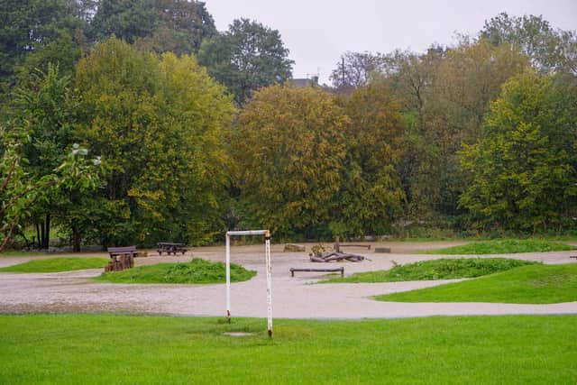

Tributaries in North Derbyshire – areas most at risk are low-lying agricultural land and roads around the tributaries of the Rivers Derwent, Wye and Noe in North Derbyshire. These include Grinds Brook, Peakshole Water, Bradwell Brook, Stoke Brook, Bar Brook, Tideswell Brook, Warney Brook, Bentley Brook, Via Gellia and Lea Brook.
River Erewash in Derbyshire and Nottinghamshire – river levels are forecast to rise at the Pinxton river gauge as a result of heavy rainfall. Consequently, flooding of roads and farmland is expected from 6.30pm today. Areas most at risk are low-lying agricultural land and roads around Pinxton, including the Pinxton Wharf access road, Langley Mill, Ilkeston, Stapleford, and the recreation area at Sandiacre.
Lower Derwent in Derbyshire – river levels are forecast to rise at the Church Wilne river gauge as a result of heavy rainfall.
Consequently, flooding of roads and farmland is expected from 7.00am tomorrow (Friday, December 6). Areas most at risk are low-lying
agricultural land and roads including Church Wilne, Draycott, and Wilne Lane between Draycott and Sawley.