
Derbyshire heatwave: Met Office issues warning for thunderstorms as heatwave brings humid conditions across county
The Met Office has warned Derbyshire residents to brace for thunderstorms – with the heatwave bringing humid conditions across the county.
A yellow weather warning for thunderstorms has been issued by the Met Office for Derbyshire and the East Midlands – active between 00.00am and 10.00am tomorrow (Friday, June 26).
Thunderstorms are expected across parts of England and Wales during the early hours of Friday, before clearing during Friday morning. Whilst many areas will miss them, thunderstorms may produce sudden, gusty winds – with the potential for speeds between 50mph and 60mph. Frequent lightning, hail and heavy rain (with the possibility of 15-20mm falling within an hour) are additional hazards.
There is a slight chance that power cuts could occur and other services to some homes and businesses could be lost. Where lightning strikes or flooding takes place, there is a chance of delays and some cancellations to train and bus services
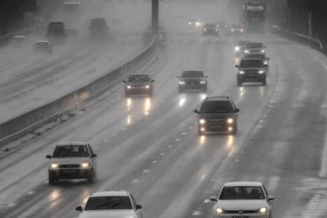

There is a small chance that homes and businesses could be flooded quickly, with damage to some buildings from floodwater, lightning strikes, hail or strong winds. Spray and sudden flooding could lead to difficult driving conditions and some road closures.