Met Office upgrades Chesterfield and Derbyshire snow warning to amber – with residents warned of potential travel disruption
and live on Freeview channel 276
The Met Office has increased the severity of its forecast for snow and ice across Chesterfield and Derbyshire – with a new amber warning coming into effect at 3.00pm on Thursday, March 9.
This warning is in place until at least 12.00pm on Friday, March 10. The Met Office has outlined what can be expected from the weather, which has prompted them to upgrade from a yellow warning.
Advertisement
Hide AdAdvertisement
Hide AdChesterfield and Derbyshire residents should expect travel delays on roads, with vehicles and passengers potentially becoming stranded. Some delays and cancellations to rail and air travel are likely.
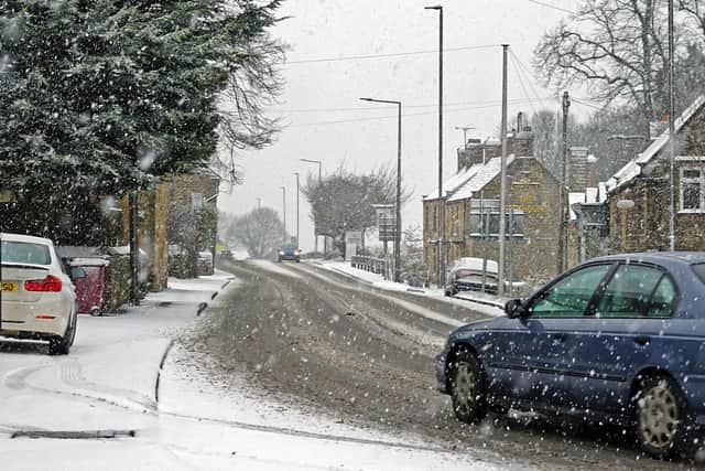

People were also warned that some rural communities could become cut off, that power cuts are likely, and other services – such as mobile phone coverage – may be affected.
Met Office chief meteorologist, Matthew Lehnert, said: “The boundary between milder and colder air will slowly move north through Wednesday and overnight, moving the chances of snow further north with it. Snow will have settled quite widely in central parts of the UK as we move into Thursday morning leaving tricky conditions for the morning travel period. It will be another very cold night, especially under clear skies in Scotland where temperatures could get down to -15°C again tonight.
Advertisement
Hide AdAdvertisement
Hide Ad“An amber warning for snow has been issued for the high ground running north in the centre of northern England as snow redevelops through the course of Thursday and persists until early Friday. Here we could see up to 40cm of snow accompanied by strong winds, causing blizzard conditions.”