
Resident challenges Environmental Impact Assessment scoping report concerning proposal for up to 1,000 new homes in north Derbyshire village
A housing developer who has earmarked land at Brimington for up to 1,000 new homes will have to provide an Environmental Statement with an application for planning consent.
Chesterfield Borough Council has decided that this legal document must be drawn up relating to the site to the east of Manor Road, where land is also reserved for a primary school and mixed-use local centre. Hallam Land has yet to submit a planning application seeking permission for the development.
An Environmental Statement is the formal output of the Environmental Impact Assessment process, which would be considered by the planning authority before deciding whether to grant permission.
Chartered town planners nineteen47 compiled an Environmental Impact Assessment scoping report on behalf of Hallam Land, which was tendered to the council’s planning authority in January 2026.

An unnamed property owner and his wife, who live on Manor Road, have since raised concerns about the scoping report. Their submission to the council stated that the cover of the report refers only to the proposed residential development with no reference to the community facilities. The letter stated: “This rather begs the question, particularly because it is only intended to provide sites for the other facilities but not the facilities themselves, of what would happen if there is no demand or, particularly, funding or them. Is the realistic intention for those sites to be developed for even more housing?”
The letter writer, who is said to have 40 years previous experience as a chartered town planner within both the public and private sectors, took issue with several points in the report.
He wrote: “It is stated that the site is “entirely within Flood Zone 1” but as a matter of fact it is not. The Environment Agency's Consultation Response on this Scoping Opinion (letter dated 2 February 2026) confirms that "an area of Flood Zone 2...extends into the site to the west" and also clarifies that" the site boundaries are in contact with flood zones 2&3." Consequently the conclusion which is drawn that there is a "low probability" of fluvial flooding has to be drawn into question. In my comments on the Screening Opinion application I pointed out that the site drains into the Trough Brook which, if overcharged, leads to flooding in Barrow Hill and indeed soon afterwards a large storm in October 2025 actually resulted in Barrow Hill being flooded because of the Trough Brook being overcharged. That was with the site being undeveloped and its development would inevitably exacerbate the possibility of such fluvial flooding occurring."
The resident slammed the report’s dismissal of noise and vibration impacts as being “limited primarily to the construction phase and will be temporary in nature” which he branded “inaccurate, misleading, wholly unacceptable and indeed insulting”. He wrote: “It gives no realistic credence to these impacts and is disrespectful to the devastating suffering that very many local residents would be forced to endure over a very prolonged period. In this respect, the later claims in the document that the construction phase would be "limited" to a 10 year period not only fails to acknowledge that such a period of suffering noise, vibration and other severely detrimental effects is wholly unacceptable to the many affected local residents but also there is absolutely no explanation of how the 10 year period has been calculated.”
He expressed concern about the indication that the majority of residential development would be up to three storeys in height. His letter stated: “The clear overall tradition in the surrounding locality is single and two storey development with only a few small exceptions. The introduction of three storey development would therefore inevitably increase the possibility of unacceptable overlooking of the surrounding houses and gardens.”
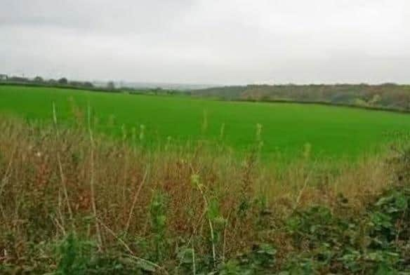
The writer challenged the description of the site as “low quality agricultural land” and said that it has been in productive use as a mixed arable and livestock farm for many decades. He commented: “Moreover the existence of the best and most versatile agricultural land is quite rare, there is only one small area of it in south Derbyshire and the proportion of this nationally is low. An area of increasing concern nationally is food security, especially in the rapidly changing geo-political circumstances in the world such that there is an heightened emphasis on the need for the nation's self-sufficiency and reduction of reliance on importing food. Therefore, any contribution which this site makes to food production is important and the implied suggestion of protecting from development only the best and most versatile agricultural land is one which could too often be repeated with potentially disastrous consequences for the econоmу and national interest. Consequently this is a topic which needs to be comprehensively assessed within the EIA including the options for the diversity of the use of this land for other agricultural activities as a preferable alternative.”
His letter also drew attention to a paragraph in the Environmental Impact Assessment scoping report which stated that Manor Road is served by a range of bus services including the no 80 providing an hourly service between Chesterfield, Staveley and Killamarsh. The resident stated: “This is inaccurate and misleading because the no 80 is the only service along Manor Road apart from dedicated school services.”
For the latest public notices from your area, please visit https://publicnoticeportal.uk