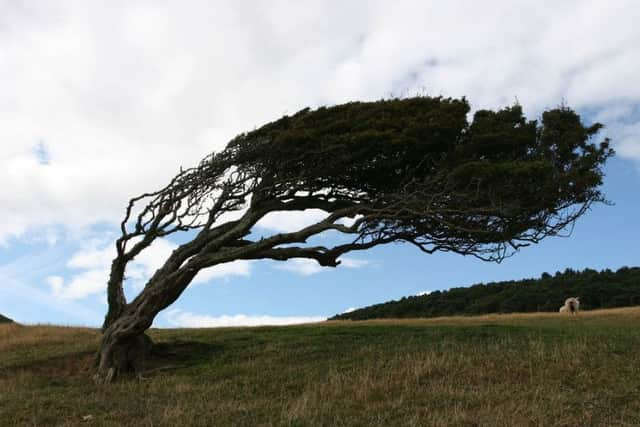
Met Office issues warning for strong winds as Storm Freya approaches Derbyshire
and live on Freeview channel 276
Storm Freya will bring very strong winds, with some travel disruption and possible dangerous conditions late Sunday and into Monday.
What to expect.
* Injuries and danger to life from flying debris are possible.


Advertisement
Hide AdAdvertisement
Hide Ad* Some damage to buildings and trees, such as tiles blown from roofs and fallen branches, could happen.
* Road, rail, air and ferry services may be affected, with longer journey times and cancellations possible.
* Some roads and bridges may close.
* Power cuts may occur, with the potential to affect other services, such as mobile phone coverage.
* Injuries and danger to life could occur from large waves and beach material being thrown onto sea fronts, coastal roads and properties
Advertisement
Hide AdAdvertisement
Hide AdStorm Freya is expected to push quickly north-east across parts of England, Wales and southern Scotland through Sunday afternoon and evening, before clearing into the North Sea through the early part of Monday. Gusts of 55-65 mph are likely widely, with the potential for gusts of 70-80 mph for coastal parts of Devon and Cornwall, as well as Irish Sea coasts of Wales and north-west England.
In the East Midlands, Derby, Derbyshire, Leicester, Leicestershire, Lincolnshire ,Northamptonshire, Nottingham, Nottinghamshire and Rutland are expected to be affected.