Vast area between Chesterfield and Alfreton is prime location for Derbyshire solar farm
and live on Freeview channel 276
An extensive Derbyshire County Council report details the best places for energy production, including solar and wind farms. It carried out the analysis in a bid to better understand what the county may need to provide to move away from fossil fuels and reduce its carbon footprint.
The study also gives councils and planners a better idea of where facilities could be placed, with a range of new policy recommendations advising on what could be best practice for clean Derbyshire energy production improvements.
Advertisement
Hide AdAdvertisement
Hide AdIt does lay out some broad potential constraints including the general principle that ground-mounted solar panels in the Peak District National Park, National Forest or other national or “internationally designated areas” are “not considered acceptable” – for larger sites.

It also recommends that high-value agricultural land is also unacceptable for solar farm use and plots near key infrastructure such as major roads, railways and airports are also off the table, due to the risk of “glint and glare”.
The report discloses that the areas with the most “headroom” – capacity for electricity generation – are Derby and its surrounding area; Chesterfield and spots near the town in North East Derbyshire; and a “notable” site near Chapel-en-le-Frith in the High Peak.
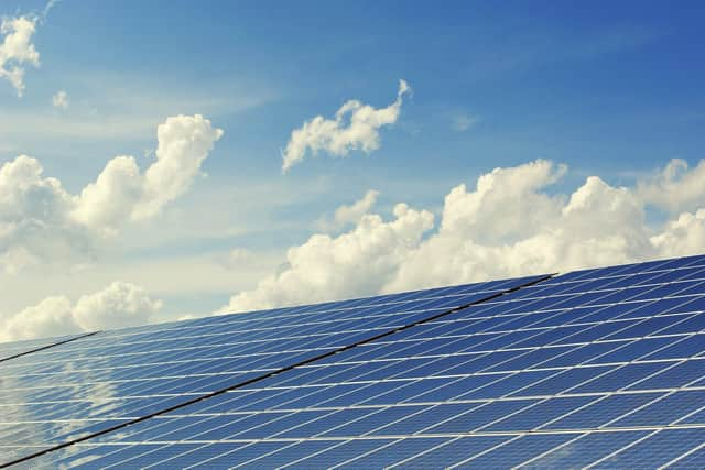
Looking closer at the detail, through maps drawn up by the study, solar farms larger than one megawatt in electricity production are said to be best placed around Swadlincote; the banks of the River Derwent from around Pride Park, Alvaston Park and up towards Elvaston; the entire hilly area encapsulating Carsington Water; an area between Shuttlewood and Clowne; and a mammoth stretch of land between Chesterfield and Alfreton.
Advertisement
Hide AdAdvertisement
Hide AdThe report says the area with the “greatest development potential” is the area between Chesterfield and Alfreton, but stresses that these would be sites outside of the Green Belt and on lower-value agricultural land.
Smaller sites for solar farms, less than one megawatt, are broadly in the same areas as the larger ones, but in more sporadic patches, also including a series of sites between Ilkeston and Kirk Hallam.
The council’s study also discusses potential wind farm placement, finding that there are a number of “theoretically viable” areas from the southwest to the east of the county, between Sudbury and Chesterfield.
It says the largest potential sites are around Darley Dale, Mugginton and Bolsover, with some scope around Buxton and the surrounding higher-altitude area.
Advertisement
Hide AdAdvertisement
Hide AdHowever, it says “proximity to the National Park is highly likely to be a constraining factor due to visual impacts into the national park itself”.
Looking closer at a map drawn up as part of the study shows potential for wind farm sites in the huge area from Derby west to Uttoxeter and Ashbourne; Chesterfield south to Alfreton; Shuttlewood to Clowne; between Burton and Newton Solney; the Ilkeston area; the area encompassing Carsington Water; the River Derwent through Derby to the eastern city limits and spots throughout the city; and an area near to Belper.