
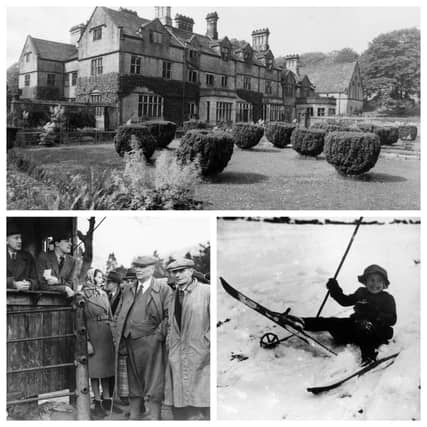

Considered by many as the spiritual home of the free access to the countryside we all enjoy today, the Peak District provides a taste of the outdoors to millions.
The 1900s brought public demands to access to the countryside. The new century saw a growing appreciation of the outdoors and more and more people started to seek escape from towns and cities. This led to a growing conflict with landowners and the mass trespass in 1932, on Kinder Scout.
This collection of images shows the landscapes of the Peak District have been shaped by human activity throughout history and how our countryside has changed over the last century.
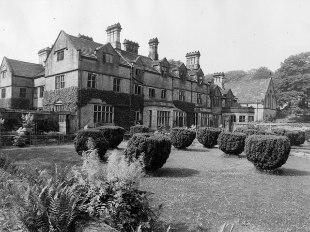
9. Derwent Hall
Derwent Hall pictured in 1939. The house was compulsorily purchased during this year, used as a school from September 1940 until August 1941 and then demolished in 1944 before completion of the Ladybower reservoir in 1945. The site of the house is usually underwater but in periods of drought the streets of the 'lost' village of Derwent and the outlines of the houses and Derwent Hall sometimes appear again. (Photo by Fox Photos/Getty Images) Photo: Fox Photos
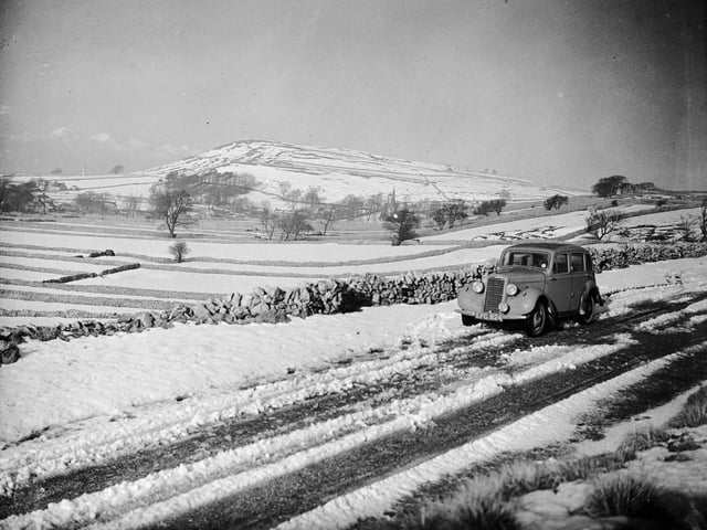
10. Snow scene
Snow-covered landscape in Bakewell on January 20, 1937. (Photo by Nick Yapp/Fox Photos/Getty Images) Photo: Nick Yapp
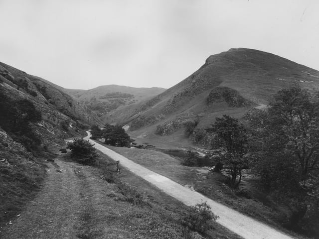
11. Scenic valley
The stunning limestone valley of Dovedale is one of the best loved beauty spots in the Peak District, and one of the most visited natural sites in the UK. Pictured in 1941 (Photo by Fox Photos/Getty Images) Photo: Fox Photos
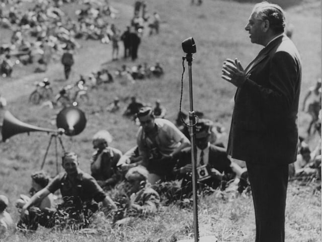
12. Addressing the crowd
British Labour politician Lewis Silkin (1889 - 1972), the Minister of Town and Country Planning, is pictured addressing a gathering of ramblers in Cave Dale, Castleton, Derbyshire on June 26, 1949. (Photo by Keystone/Hulton Archive/Getty Images) Photo: Keystone