

New data from the government health body reveals the areas in Chesterfield with the most new cases of Covid-19 between October 1 – October 7.
PHE released a new interactive map, which is made up of lab confirmed positive coronavirus cases that were reported using pillar one and pillar two of the government’s testing programme by NHS hospitals and as part of swab testing for the wider population.
The 10 neighbourhoods below have been worst hit by Covid-19 in the last week.
mages are for illustrative purposes only and are not linked to the data in the article.
Thank you to all who support local journalism with a print subscription. The events of 2020 mean trusted, local journalism is more reliant than ever on your support. We couldn't do it without you. Please subscribe here so we can keep campaigning on your behalf. Stay safe.
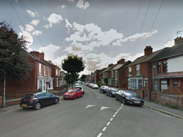
1. HASLAND AND SPITAL - 22 CASES
Cases are beginning to creep up in Hasland and Spital with 22 cases recorded here in the last week. Photo: Google Maps
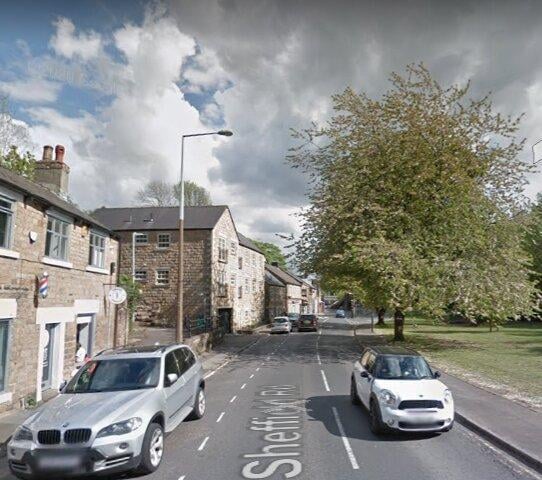
2. DRONFIELD TOWN- 22 CASES
Central Dronfield is beginning to see a steep rise in cases, with 22 recorded here in the last week. Photo: Google Maps
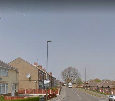
3. NORTH WINGFIELD AND PILSLEY- 17 CASES
From October 7 - October 1, 17 cases were recorded here. Photo: Google Maps
4. ASHGATE AND BROCKWELL- 14 CASES
The figures show cases are beginning to creep into central areas of thw town like Brockwell and Ashgate where 14 cases were recorded in the last week. Photo: Google Maps