While the infection rate across the district remains relatively low, some areas have seen more confirmed positive cases than others.
Between September 14 and 20 there were five cases per 100,000 people in Chesterfield. The average area in England had 19. Sixteen Covid-19 cases were confirmed in the town during this period, 11 fewer than the week before.
Below are the areas of Chesterfield and north Derbyshire where three or more coronavirus cases were confirmed during the week ending Sunday, September 20, the latest period for which reliable data is available.
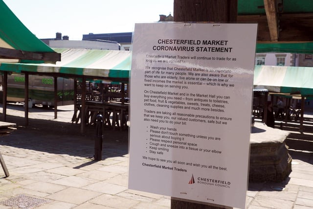
1. Derbyshire lockdown. Coronavirus statement at Chesterfield Market.
The coronavirus infection rate remains relatively low in Chesterfield. Photo: Brian Eyre
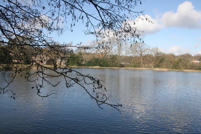
2. Wingerworth and Holymoorside
There were four confirmed cases in Wingerworth and Holymoorside between September 14 and 20. Photo: RKH
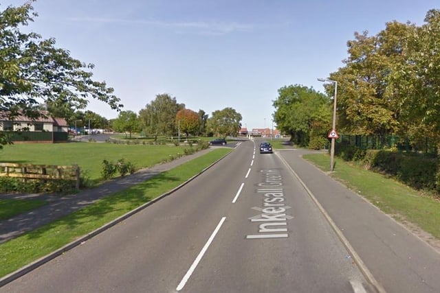
3. Inkersall Green and Duckmanton
There were three confirmed coronavirus cases in Inkersall Green and Duckmanton between September 14 and 20. Photo: Google Maps
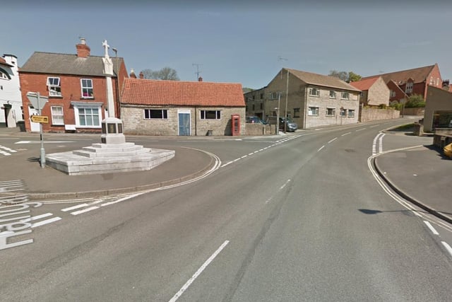
4. Whitwell and Elmton
There were four confirmed coronavirus cases in Whitwell and Elmton between September 14 and 20. Photo: Google Maps