Chesterfield faces snow and ice as Met Office issue yellow warning
and live on Freeview channel 276
Forecasters from the Met Office are warning that ‘heavy snow’ this morning will change to sleet by lunchtime.
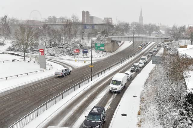
A yellow warning for snow and ice is in place from Northumberland to Derby, as well as North Yorkshire and parts of Scotland.
Advertisement
Hide AdAdvertisement
Hide AdThe snow warning will expire at 2pm today, and motorists on high ground in Derbyshire are already struggling with travel disruption due to the blanket of snow and ice on the roads.

A spokesperson for the Met Office said: “A mix of rain, sleet and snow will affect northern England, for a time today.
“Snow could lead to some disruption for higher routes in the Pennines, Lake District and North York Moors, especially above 250 metres elevation.
“Here a slushy cover of 1-2 cm may accumulate, but with over five cm on routes above 450 metres. Snow will turn back to rain from the south by mid-afternoon.”
Advertisement
Hide AdAdvertisement
Hide AdChesterfield will face further adverse weather conditions over the weekend, when another yellow weather warning, this time for wind, comes into force at noon tomorrow.
A spell of strong winds is expected to move northeast across a large swathe of the UK through Saturday afternoon and Sunday morning.
Gusts of 50-60 mph are likely, and especially in association with heavier showers across England and Wales during Saturday afternoon.
More isolated gusts of 65-70 mph, particularly on coasts and other exposed areas, are probable.