The figures were taken from Derbyshire Police’s most up-to-date records in its crime map for Chesterfield and locations are given by policing area and the neighbourhoods within them.
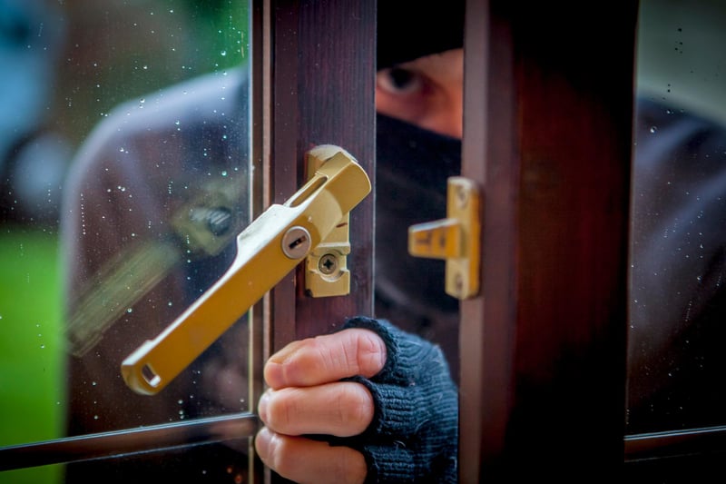
1. Chesterfield’s most burgled neighbourhoods – March to May
The Chesterfield areas most-targeted by burglars during the last three months Photo: Marisa Cashill
2. Dunston, Moor and St Helen's
Eighteen reports Policing area covers Newbold, Wittington Moor and Sheepbridge Photo: Google
3. Holmebrook and Rother
Fifteen reports Policing covers Brampton and parts of Boythorpe and Birdholme Photo: Google
4. Whittington and Barrow Hill
Fifteen reports Policing area area covers New Whittington, Old Whittington and Barrow Hill Photo: Google
1 / 3